TRIMBLE STRATUS
DRONE DATA PLATFORM FOR CONSTRUCTION
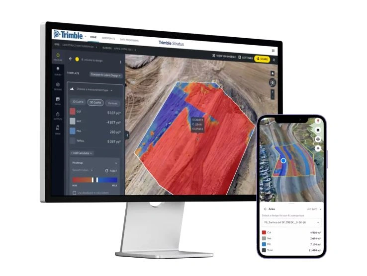
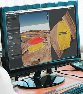
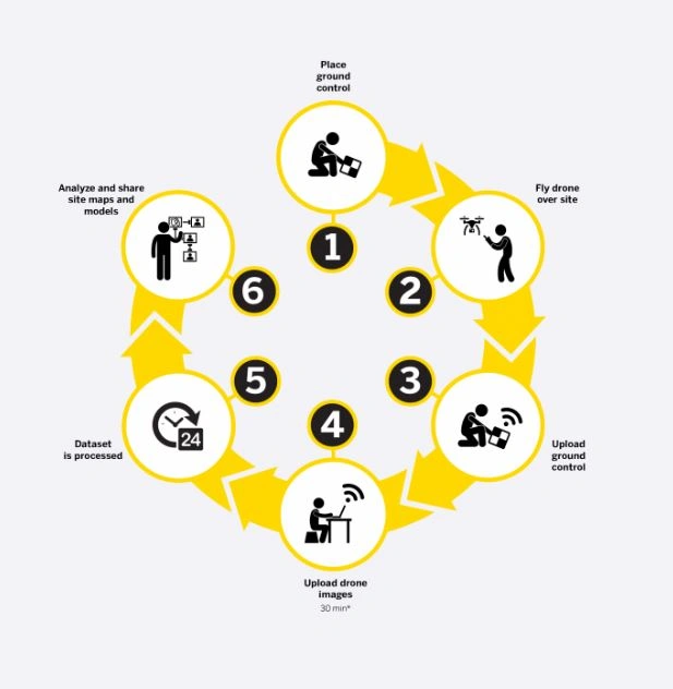
Trimble Stratus is a cloud-based aerial intelligence platform designed for the construction and earthmoving industry. Using drone technology, it captures high-resolution imagery of your job site and transforms it into accurate 3D models, orthomosaics, and digital surface models — giving your team a clear, up-to-date picture of what’s happening on the ground.
From monitoring progress and tracking site changes to making confident decisions at every stage of a project, Trimble Stratus keeps your whole team working from the same reliable data.
Beyond site visibility, Trimble Stratus includes powerful analytics tools for volume calculations, cut and fill analysis, and stockpile measurement — helping civil contractors and earthmoving operators manage projects more efficiently and get the most out of every machine hour.