PROPELLER

MAP, MEASURE, AND MANAGE YOUR WORKSITE & ASSETS

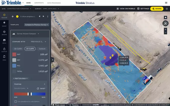
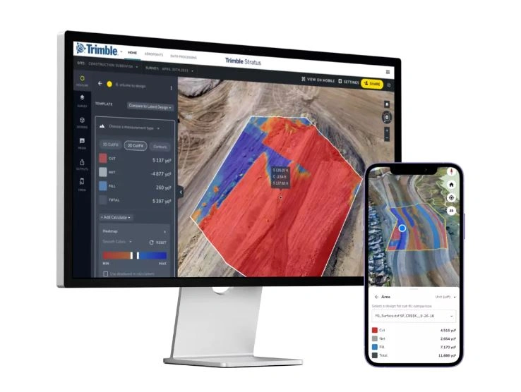
Propeller drone software gives your team the power to capture, process, and act on accurate site data — all without waiting on a survey crew. Whether you’re tracking cut and fill, managing machine productivity, or keeping stakeholders in the loop, Propeller puts the right data in the right hands at the right time.
Propeller

YOUR SITE. YOUR DATA. YOUR DECISIONS.

BUILT FOR CIVIL CONSTRUCTION, EARTHMOVING & MINING INDUSTRIES

SITECH NZ brings Propeller drone software to civil contractors, earthmoving operators, and heavy machinery businesses across New Zealand. Powered by Trimble Stratus, Propeller helps your team quote accurately, survey on demand, and stay aligned from office to site — without the overhead of traditional survey methods.

HOW IT WORKS

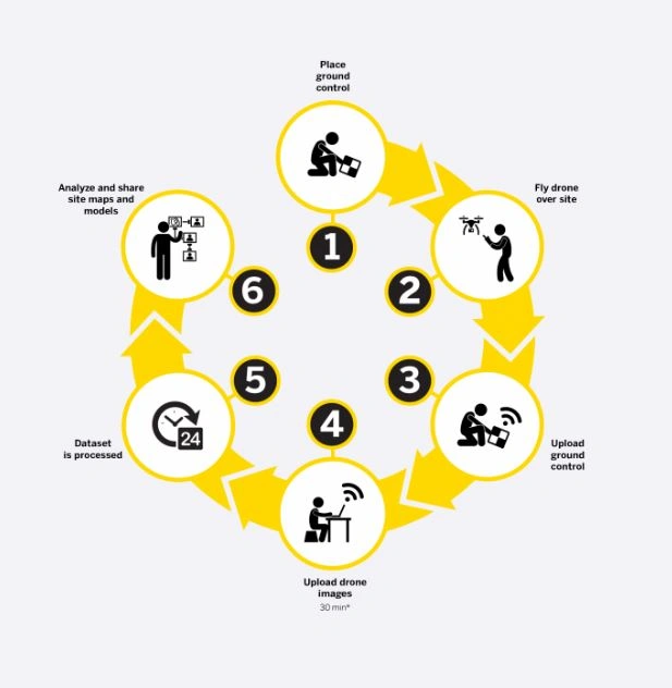
Getting started is straightforward:

  1. Set out ground control points across your site
  2. Fly your drone over the area you want to capture
  3. Upload your ground control data to the platform
  4. Upload your drone imagery (takes around 30 minutes)
  5. Propeller processes your dataset automatically
  6. View, analyse, and share your site maps and 3D models
Propeller - how it works

APPLICATION FOR PROPELLER

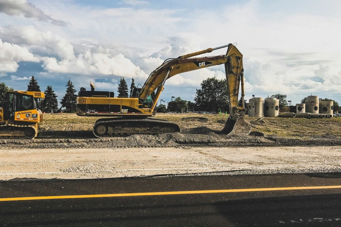
CIVIL CONSTRUCTION

  • Frequent and accurate data capture
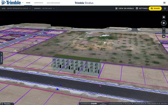
  • Track earthworks progress against design
  • Quality assurance
  • Project management
  • Generate survey-grade topographic data from drone flights.
  • Produce cut and fill maps to understand material movement requirements.
  • Overlay your drone data against finished grade designs or past surveys to see exactly where you are.
  • Keep office and field teams connected with real-time site visibility.
  • Back yourself in disputes with objective, full-surface analysis data.
CIVIL CONSTRUCTION
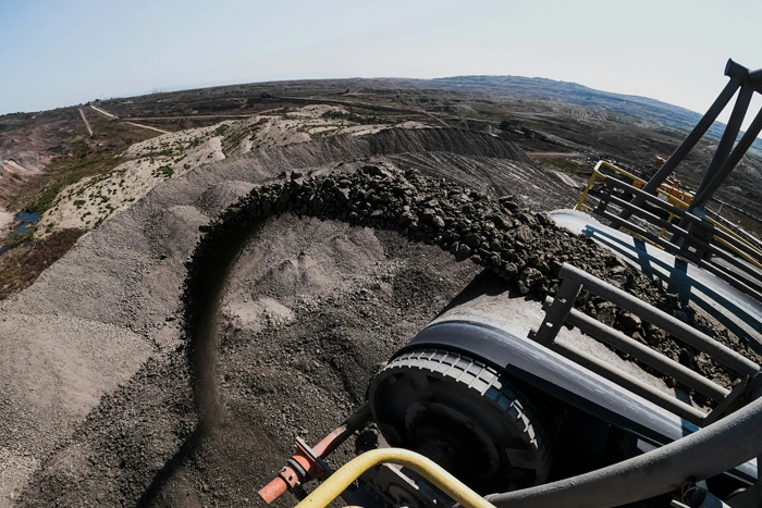
AGGREGATES

AGGREGATES

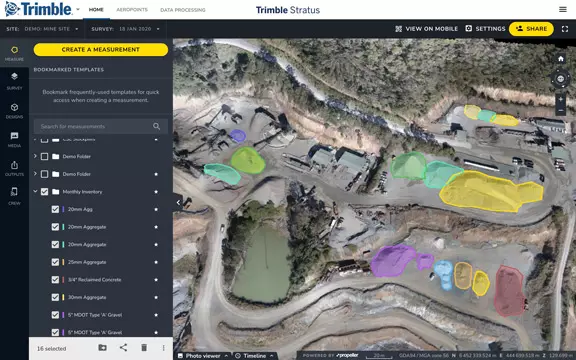
  • Monitor and manage inventory
  • Manage mining and blasting operations
  • Inspection of equipment and supervision of contractors
  • Organisation of roads and traffic
  • Compare pre- and post-blast volumes and measure the angle of blasted surfaces to verify results.
  • Determine borehole depths accurately using borehole surface models.
  • Carry out safe, remote inspections of blast fragment and explosion zones.
  • Monitor pit stock volumes and quantify the total material extracted over time using surface-to-surface comparisons.
  • Calculate slope and pit angles and verify actual conditions against your design model to maintain compliance.
  • Detect shifts in inclination angle between survey periods to stay ahead of potential slippage.
  • Enable geotechnical engineers to remotely inspect pit walls — keeping people out of hazardous areas.
  • Export 3D DXF and point cloud files for updating pit and dump plans in your existing software.
  • Verify that road grades, widths, and cross slopes meet design specifications to keep traffic moving safely and efficiently.
  • Track haul route conformity to reduce cycle times and improve the efficiency of your mobile fleet.
  • Inspect and document site conditions before and after significant weather events such as heavy rain.

MINING

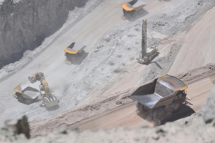
  • Effective tracking of the status of your mine
  • Measure the volume of the stockpile
  • Check the road gradient
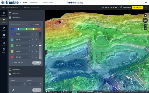
  • Generate terrain maps
  • Import planning boundaries and visually track progress against your 3D site survey.
  • Run time-series comparisons between surveys to understand how your site is changing.
  • Identify non-compliance issues early, before they become costly problems.
  • Produce faster, more reliable inventory estimates for reporting and planning.
MINING
WASTE MANAGEMENT

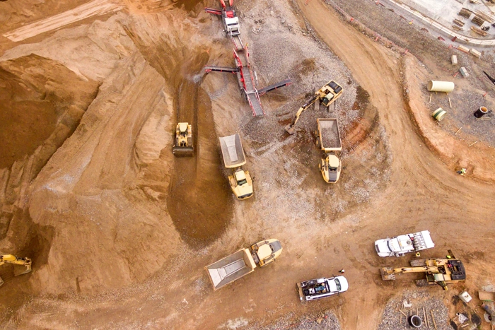
WASTE

  • Monitor landfill progress and productivity
  • Check cell volume, remaining air space and density
  • Calculate current, changed and remaining airspace for EPA reporting
  • Monitor landfill progress and productivity
  • Check cell volume, remaining air space and density
  • Calculate current, changed and remaining airspace for EPA reporting

FEATURES & BENEFITS

Confidently Plan and Estimate

Know Your Numbers Before You Start

  • Carry out your own site surveys ahead of tendering and throughout the job — so every quote reflects actual ground conditions, not assumptions.
  • Record detailed drone imagery of site boundaries and environmentally sensitive zones to demonstrate you’re meeting regulatory obligations.
  • Take volume measurements as often as your project demands, giving you tighter control over planning and budget.
Survey Frequently and Faster

Fresh Survey Data, Whenever You Need It

  • Pull current topographic surveys on demand — your drone does the work, no external survey crew needed.
  • Use an intuitive web-based platform to get the answers you need yourself, without delays or third-party bottlenecks.
  • Deploy your drone into steep, unstable, or otherwise hazardous areas that aren’t safe for people to enter.
Site Volumes

Accurate Volume Tracking Across Your Entire Site

  • Quantify material moved in or out of pits, stockpiles, cells, and drainage channels with confidence.
  • Run stockpile volume checks as frequently as your operation requires — safely, without sending people into the pit.
Communicate Effectively

One Source of Truth for Your Whole Team

  • Publish progress updates to a shared cloud workspace so your team, subcontractors, and clients are always working from the same information.
  • Build a clear, timestamped record of site changes — making it straightforward to resolve disputes and avoid costly rework.
  • Manage multiple sites more efficiently by handling progress checks and inspections remotely, without the need to be on the ground every time.
Design Checks

Compare What Was Designed Against What Was Built

  • Bring your design surfaces into Propeller and overlay them against your drone data to see exactly where you’re on track — and where you’re not.
  • Identify what work remains and generate clear records of what’s already been completed.
  • Check volumes, cross-sections, and slope values against your final design specifications at any point during construction.
Mobile Mapping

Field-Ready with the Trimble Stratus Mobile App

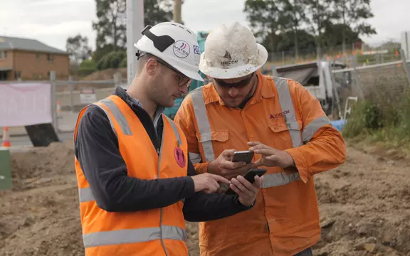
  • Extend Trimble Stratus to the field — create and share simple, interactive site maps between your office and on-site crews in real time.
  • Equip your field teams with 2D and 3D site models, live position tracking against design data, and the ability to collaborate and measure directly on screen.
  • Take geotagged photos on your phone, then pin, sort, and mark them up on the map — building a location-linked visual record as you go.

FREQUENTLY ASKED QUESTIONS

Trimble Propeller enables users to generate orthomosaic maps, digital terrain models (DTMs), point clouds, and 3D models from drone-captured imagery. It also allows for volume calculations, cut-and-fill analysis, and progress monitoring.

Propeller processes drone data in the cloud, converting raw images into accurate maps and models without requiring local computing power.

Propeller is compatible with various drones, including those from DJI and other manufacturers, provided they can capture geotagged imagery.

Yes, Trimble Propeller can integrate with other Trimble software products like Trimble Business Center, as well as with CAD and GIS software.

Data in Propeller is stored in the cloud, where it can be securely accessed, managed, and shared with stakeholders through a web browser.

Yes, Propellers implements security measures like data encryption and secure access protocols to protect user data.

Propeller is offered as a subscription service, with pricing based on the level of access, features, and storage capacity required by the user.

Yes, Trimble Propeller offers different subscription tiers tailored to the needs of various users, ranging from small businesses to large enterprises.

Trimble provides customer support through online resources, user guides, training videos, and direct support from Trimble’s technical team.

Reach out & lets talk!

Fill out the form below and we’ll be in contact, or reach out directly on 0800 4748 324

Request a demo?