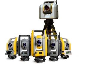
TRIMBLE SURVEY

Trimble Survey offers a complete range of advanced solutions tailored for professionals in surveying, civil engineering, and construction. These innovative tools combine reliable hardware, such as total stations, GNSS receivers, and data collectors – with powerful software for data processing, analysis, and visualisation.

With Trimble Survey solutions, users can capture and measure geospatial data with exceptional accuracy. Applications include land surveying, mapping, construction layout, and infrastructure development, all supported by industry-leading precision and reliability.

By streamlining workflows and reducing errors, Trimble Survey technology helps surveyors and engineers work more efficiently, achieve high-quality results, and stay competitive in demanding projects. Whether you need advanced hardware or intuitive software, Trimble provides the trusted solutions to deliver consistent performance from field to finish.

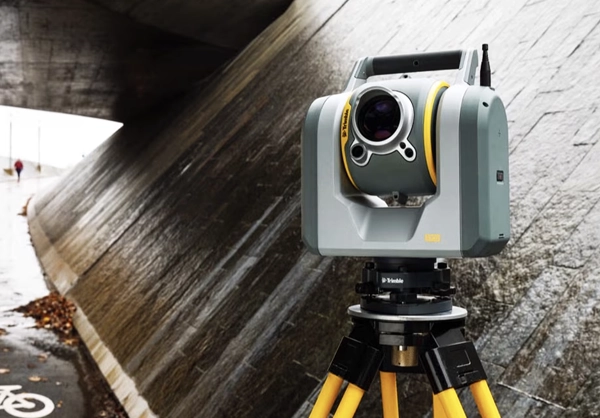
Trimble Survey

TRIMBLE IS TRANSFORMING HOW SURVEYORS WORK

Shape landscapes with quality solutions and connected workflows from Trimble.

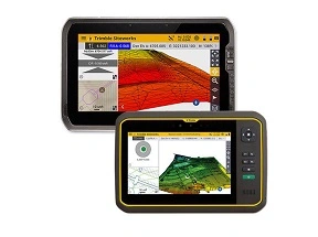
TRIMBLE SITEWORKS

Trimble Siteworks

Construction software for efficient site management, surveying, and machine guidance.

TRIMBLE STRATUS

TRIMBLE STRATUS

Cloud-based aerial intelligence platform for construction, offering 3D modelling and analytics.

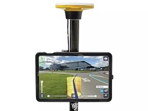
TRIMBLE SITEVISION

Trimble Sitevision

Visualises designs, manages projects, locates assets, mitigates risks.

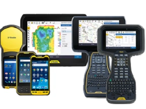
CONTROLLERS AND TABLETS

Trimble Controllers and Tablets

Rugged, versatile devices for seamless field data collection and efficient project workflows.

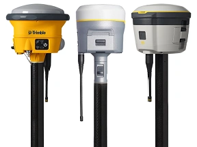
GNSS RECEIVERS

Trimble GNSS Receivers

Boost surveying and construction accuracy. Rugged, precise, delivers real-time data and centimeter-level positioning for faster, more efficient projects.

TOTAL STATIONS

Trimble Total Stations

Achieve precise surveying and construction eliver fast measurements and seamless data integration for efficient project workflows.