TRIMBLE STRATUS
DRONE DATA PLATFORM FOR CONSTRUCTION
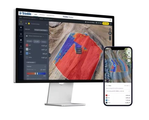
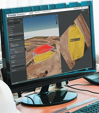
Trimble Stratus is a cloud-based drone surveying platform that delivers powerful aerial intelligence for construction. By capturing high-resolution imagery and generating accurate 3D models, orthomosaics, and surface maps, it helps teams monitor site progress, track changes, and improve decision-making. With advanced tools for volume calculations, cut/fill analysis, and stockpile measurement, Trimble Stratus streamlines earthwork management, boosts efficiency, and supports better project outcomes.
Learn More – Trimble Stratus PDF


